Special report: digital technology redesigns the cities of tomorrow
Digital technology is now used in large-scale planning processes and is deployed in an infinite number of fields of action, from the efficient use of energy to the organisation of mobility. In this area, BG supports the implementation of solutions and their monitoring. Examples include the Aïre WWTP, the Smart Mobility Geneva project, the Urban Traffic Management System (UTMS) and the Geographic Information Systems (GIS) application for energy planning.
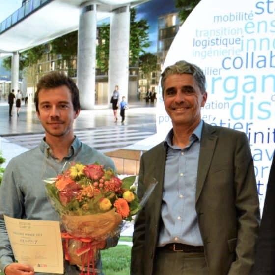
Editorial by Sylvain Riss
BG was one of the pioneering companies in Switzerland to model buildings in three dimensions using BIM (Building information modelling). The adopted and mastered approach takes a new step by extending the fields of application of digitisation to the scale of districts, cities, and even entire regions. This digitisation initiates a globalised consideration of the urban vision, so far fragmented.
With the support of various tools related to City Information Modelling (CIM), new perspectives are opening up for the organisation and management of territories. By modelling an urban space as a whole, by integrating all the information involved (water, lighting, circulation, car parks, buildings, plants, waste, etc.) a better understanding of town planning projects emerges. Their visualisation and performance simulations, made possible thanks to technological developments, greatly contribute to facilitating public authorities’ decision-making in the light of major issues of population concentration, climate change and sustainability.
For Sylvain Riss, Digital and BIM Director at BG, modelling the urban space makes it possible to draw up long-term urban plans and to test different development variants. “Cities are in a process of progress. Mentalities are changing, especially in the area of mobility. Today, if scooters are a hit, tomorrow we will no doubt favour other modes of travel, such as hyperloops, supersonic trains, or urban cable cars. Due to an urban density under tension, simulations are proving more and more necessary to imagine the city differently and to determine its evolutions, to anticipate the positive or negative consequences of their economic and environmental development, by relying on a multiscale vision of space,” states the expert, convinced of the relevance of the approach with regard to the challenges of future urbanisation.
Achieving a global vision from a mass of information
The success of a large-scale urbanisation project depends on the collection, processing and management of data analysed by a central system. BG develops cutting-edge IT solutions capable of processing a mass of diverse information and correlating it to generate a global vision. “To better organise cities or a larger territory, in order to foresee changes and integrate new social and political dynamics, it is necessary to have objective information from the urban environment,” explains Sylvain Riss. Data collection is carried out via various connected objects in situ. Here, sensors measure the air quality or the filling rate of waste containers and direct the route of road trucks according to this data. There, sensors regulate access to the car parks by indicating the available spaces. According to Sylvain Riss, “Smart cities develop as a priority in the interest of their inhabitants, while modelling is more in the service of urban strategy.”
The approach responds primarily to the interests of users. The large volume of information collected provides information on the real needs of populations and makes it possible to offer a smart combination of infrastructures and services at the building, city and territory scales.
The urban revolution is underway
In association with the Internet of Things, artificial intelligence, GIS (geographic information systems) and digital services, the potential of urban digitisation is growing even stronger. To make the most of technological developments, the collaboration between the multiple players associated with a project is one of the facets of the subject to be clarified. Managing collaborations within projects involves the development of inter-operable tools and work environments that allow each party involved to share their data while respecting each other’s confidentiality.
From building to territory, new ways of managing space are emerging. Digitisation opens up promising prospects and should reconfigure our environment in the coming decade.
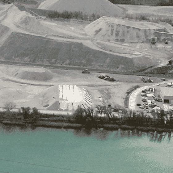
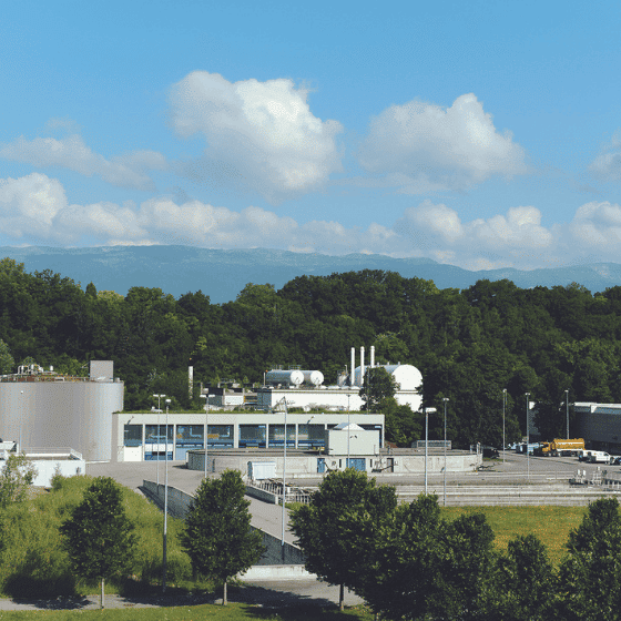
Aïre WWTP: BIM to optimise water treatment
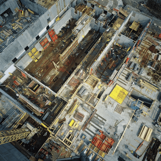
Designed on a drawing board, the Aïre 1 wastewater treatment plant was inaugurated in 1967. Aïre 2 was created in 2003. Its plans stem from the early days of digital. Today, overloaded, no longer meeting current standards for the elimination of micro-pollutants, the Geneva WWTP must be resized and upgraded. Work to extend the Aïre 2+ water supply chain should start in 2022-2023. As in other areas of construction, WWTPs and drinking water treatment units are embracing digital planning, particularly with the development of design under BIM. BG was mandated to ensure the general planning of the extension of the water sector of what will eventually become the largest WWTP in Switzerland.
The project is planned over seven years and includes the realisation of all graphic services under BIM. From design, with equipment modelling, the BIM tool ensures communication facilitated between the different stakeholders, better interdisciplinary coordination then accessibility at all times of all the useful data of a project.
For Stéphane Bielser, project manager of the Aïre 2+ water treatment sector, BIM could offer new perspectives, particularly concerning data management and use for operations.“For example, we could locate the faulty equipment in a 3D model or anticipate the adjustment of the installations according to the announced rainfall rate”. BIM would therefore not only improve collaboration between the various stakeholders through a common digital data environment, but also simulate several scenarios to anticipate the resolution of incidents, to measure energy consumption, operational efficiency or even the life cycle costs of the infrastructure. The implementation of BIM processes is extremely complex, but the advantages of such a tool are considerable in supporting the various players towards the digital transition and building future infrastructures.
Smart Mobility Geneva: Data, tools, a concept
In order to improve traffic flow and safety in the canton, a vast Smart Mobility programme was launched by the Geneva Cantonal Transport Office. BG fully supports this process – which is extremely complex due to the territorial particularities of Geneva – through a Smart Mobility concept, based on the collection and analysis of a large amount of data and with the objective of implementing mobility management plans and the design of user information signage.
Geneva is struggling with its mobility. Its urban area is subject to a very high traffic density and its network is regularly saturated. Surrounded by France, cut in two by the Rhône and wedged between lake and mountains, the city is limited in the development of its traffic axes. If we add to this that the canton has approximately 500,000 residents and that they make an average of 3.6 trips per day, we understand how much the programme of operational measures of the Road Action Plan, decided by the Cantonal Office for Transport and aimed at improving the fluidity and safety of intermodal traffic, is essential for the quality of life of the inhabitants of the Greater Geneva basin.
This programme, which was validated in 2010, is now in line with the cantonal law for coherent and balanced mobility (LMCE), which was voted on 5 June 2016 by 68% of the population and which gives priority to soft mobility and to public transport. Its ambition is to reorganise the management of all mobility flows between the different modes of transport, namely the car, the train, the Geneva public transports (TPG), bicycles, scooters and pedestrians. “This requires two optimisations”, explains Ludovic Magnin, project manager at BG. “Firstly, control of the network and knowledge of scheduled events and unexpected events, and secondly, the feedback of information on these events, with rational and pragmatic communication to users thanks to a dedicated plat form.”
In this context, BG is acting on a “Smart Mobility” mandate focused on four missions. The first mission is to establish Mobility Management Plans (PMG) to identify the actions that operators must take to manage planned events, such as demonstrations or work, or unplanned events, such as accidents; the second mission must define the traffic information signage intended for users (PIV) to allow them to anticipate and take detours, through signage containing messages on the site of the disturbance and the alternatives available; the third mission provides for the installation of around 100 video surveillance cameras, with upstream studies of relevant locations in order to obtain the right information for the management of road junctions; and finally, the fourth mission provides for the deployment of the traffic management system.
By informing users about means of transport other than the car, “Smart Mobility” is in line with the objectives of the Law for Coherent and Balanced Mobility (LMCE). “It makes it possible to reduce motorised traffic, to make traffic more fluid and to reduce CO2 emissions”, continues the project manager. “Thanks to Smart Mobility and the data we have collected and analysed, we are as close as possible to reality”, says Ludovic Magnin. It allows us to control and anticipate travel times, for example for a user who has a plane to catch, and to make the modes of transport more reliable by offering existing alternatives”. The management of the analysed data is an integral part of urban strategies and the way in which they are articulated, both at city and regional level.
Urban traffic management system between Lausanne and Morges: connected infrastructures to rethink mobility
Road flows and public transport are at the heart of discussions on mobility and air quality, which remains largely dependent on traffic. As part of the urban centre project between Lausanne and Morges (PALM), BG is working on establishing a central coordinated urban traffic management (GCTA) to help streamline traffic during events while promoting public transport and improving air quality.
“This is a system that will bring together the 26 PALM municipalities while allowing each one to keep control of its traffic management,” explains Hubert Galland, project coordinator at BG.
“The GCTA is not intended to manage the daily traffic but the one-off events generating occasional disturbances, such as construction sites and cultural or sporting events.”
The GCTA exploits existing infrastructures but also new equipment added to the network concerned: cameras, information panels or traffic detectors. With this unit, it will be possible to act preventively on planned events but also to manage unforeseen events (accidents, breakdowns or other technical incidents). The implementation of the GCTA is scheduled for mid-2022. It will be equipped with a smart operator station connected to all elements relating to traffic: roads, direction signs, traffic lights, etc.
The GCTA will make them available to the operator, who will benefit from a continuous vision of the traffic. The operator will be able to act remotely on connected infrastructures in order to inform and guide users. The operator can also redirect and regulate traffic by intervening at crossroads, by setting up detours, changing the rhythm of traffic lights and prioritising public transport.
For BG, this project – combining a sense of innovation and sustainable mobility – is emblematic of the implementation of the smart use of data and infrastructure, for the benefit of users and the environment.
An innovative GIS tool for energy planning
Energy planning is a complex project and task for municipalities. WWZ, the main energy supplier of the canton of Zug, wishes to support them in this process. The idea is as follows: municipalities obtain, through an online GIS tool, all the data and information they need to understand their energy planning. BG was responsible for developing the application. The finished product will be presented to the municipalities of Zug in spring 2021.
Combination of specific data
In recent years, Geographic Information Systems (GIS) have become essential for recording and presenting all data, and then making it available to other users. The advantage of the web application developed by BG is that it is precisely tailored to the needs of energy planning. Specific data sets from the Confederation, cantons, municipalities and WWZ can therefore be combined and evaluated depending on the problem to be addressed. The tool then generates a new map with
the required information, which is easily available. A municipality can, for example, quickly get an overview of the future development of demand for electricity or district heating in a given area and consider possible expansion plans from the energy supplier WWZ. All this helps provide important bases for decision making, especially if the municipality plans to build its own local heating network.
For energy planning, but not only
The web GIS for the municipalities of Zug has been selected internally by BG as an innovation project and therefore receives support for its future development. Sara Wyss, Head of the ‘Building, Energy & Territory (BET)’ Unit for the German-speaking part of the Group, is already thinking about the future: “Energy planning is just the start. We would like to use this tool in other areas as well.”
(Article taken from BG Magazine 2021, updated version on the site)